My AcreSimplifying Land Buying & Selling
Total Free Customer Care
+(91) 9836123456
Need Live Support?
contact@my-acre.com
© My Acre 2026 - All rights reserved
Total Free Customer Care
Need Live Support?
© My Acre 2026 - All rights reserved
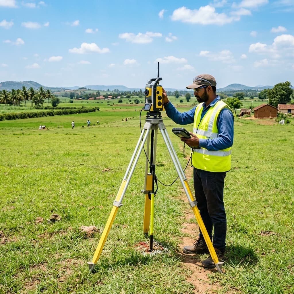
Exact boundary markings are critical to avoiding neighbor disputes and confirming the actual physical area of your land acquisition. My Acre's Land Surveying service uses industry-standard high-precision measurement tools.
We deploy government-approved surveyors equipped with DGPS (Differential Global Positioning System), Total Station, and drone mapping technology. You receive a certified physical blueprint, digital layout maps, and boundary demarcation coordinates.
Using high-precision satellite receivers to define absolute geographical coordinates.
Electro-optical distance measurement to gauge boundaries, angles, and elevations.
Receipt of official boundary map drawings signed by licensed surveyors.
Physical placement of boundary stones/marking pegs at the corners of your plot.

Talk to our experts or Browse through more properties.